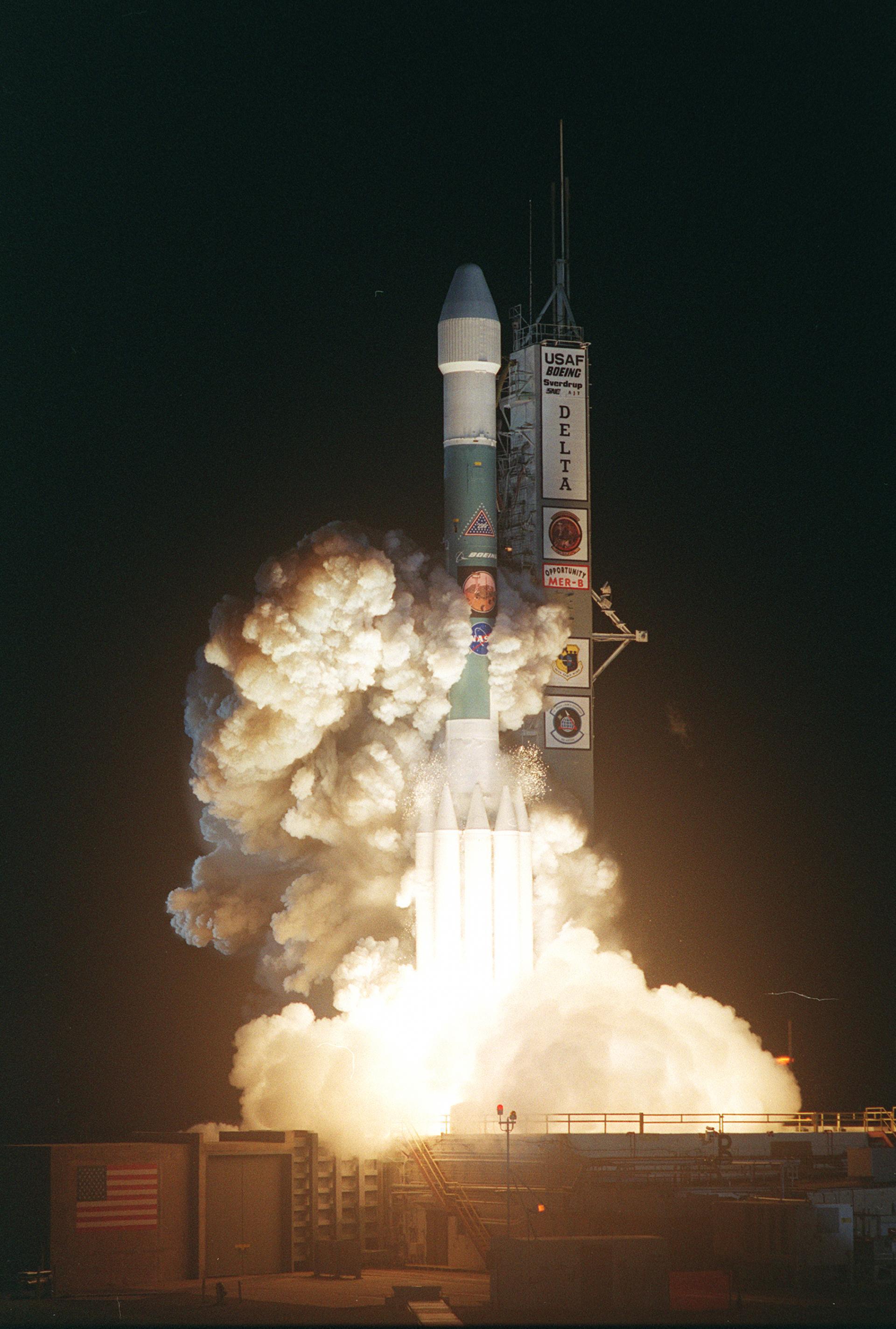
Delta II | Landsat 7
Status: Success | Launched: Apr 15, 1999 18:32 UTC
Launch Provider & Rocket
- Provider: United States Air Force (Government)
- Rocket: Delta II 7920-10 — Delta family
Mission
Landsat 7 continued the long-term Earth observation Landsat program begun in 1972. Landsat 7 was a joint project between NASA, NOAA, and the US Geological Survey to obtain continuous high-resolution imagary of the earth's surface for environmental monitoring, disaster assessment, land use and regional planning, cartography, range management, oil and mineral exploration.
- Type: Earth Science
- Orbit: Low Earth Orbit (LEO)
Launch Site
- Pad: Space Launch Complex 2W
- Location: Vandenberg SFB, CA, USA
- View on map
Program
- Landsat — The Landsat program is the longest-running enterprise for acquisition of satellite imagery of Earth. It is a joint NASA / USGS program. (Wikipedia)
Launch data sourced automatically from the Launch Library 2 API. Last refreshed: 2026-10-09T05:01:23.865288+00:00.